Log Into Your Account
Your cart is currently empty
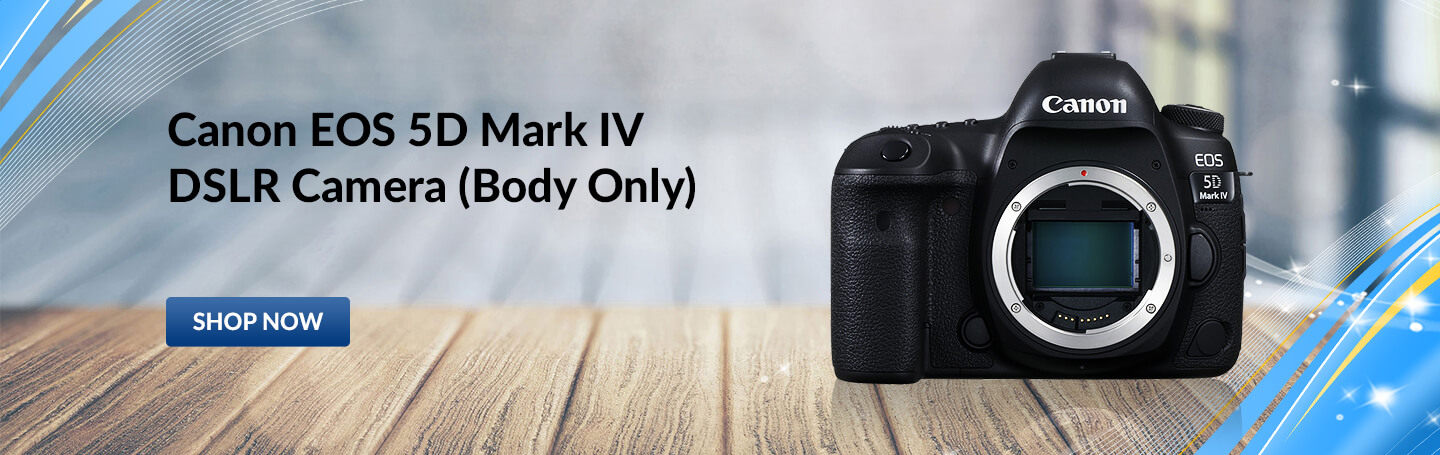
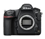
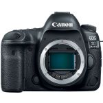
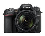
SLR Cameras
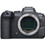
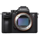
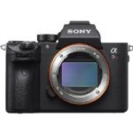
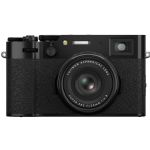
Mirrorless Cameras
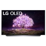
OLED
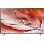
LED Televisions
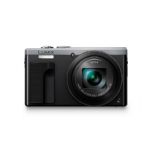
Point & Shoot Cameras
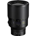
Camera Lenses
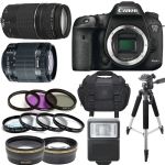
Camera Deluxe Bundle
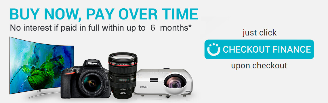
Special Promotional Financing Available.
Based on a loan to finance the purchase of the listed product price assuming a 36-month term and a 26.99% APR. Actual terms may vary and are subject to credit approval. Rates range from 26.99% to 35.99% APR.